
The hills you know, in your hands
Pick any piece of Great Britain, from a single crag to a whole range, and we will 3D print it for you in colour. Every ridge, corrie and valley floor is where it should be, because the shape comes from laser surveys flown over the ground itself.
Made from the ground up
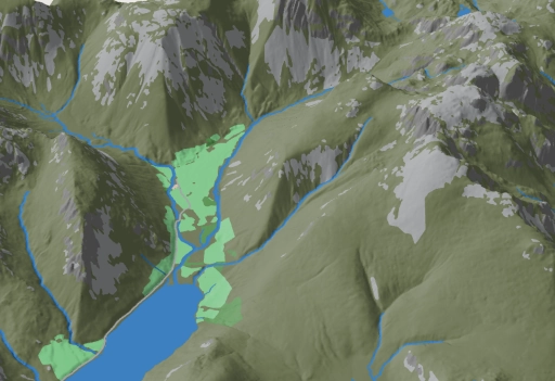
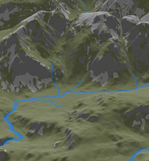
Aircraft fly over Britain firing lasers at the ground, measuring its height every metre or less. We turn that survey into a solid model of your chosen ground, then print it layer by layer, a fifth of a millimetre at a time.
The colours are not painted on. Each one is its own plastic, printed into the map as it grows:
- Dark green for the open fell
- Bright green for the valley fields
- Deep green for the woods
- Pale grey for scree and roads
- Dark grey for crag, found wherever the ground is steeper than 45 degrees
- Blue for lakes, tarns, becks and the sea
- Warm brown for towns and villages
Your walk, drawn on
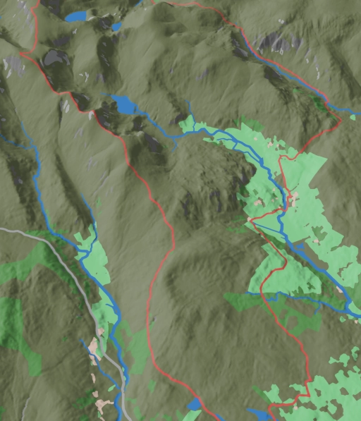
Walked it, run it, cycled it? Add your GPX file and your route is printed in red, following every rise and fall of the ground. A round of the Wasdale fells, your first Munro, the lap you train on every week: a map of the day you did it.
It makes a gift that nobody else will have.
How it works
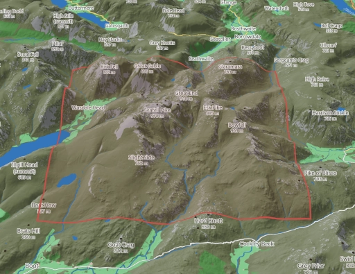
Choose. Move the map to your ground. The red box is your print. Zoom in for one valley, out for a whole range. Turn it to face the way you like to look at it, and set how tall the hills stand.
Preview. We build your map while you wait and show it to you in 3D. Turn it round and look at it from every side. What you see is what we print.
Receive. We print your map to order and post it to you, free, by Royal Mail Tracked 24.
Sizes and prices
You choose the width and depth, up to 300 by 286 millimetres. The price depends on the size alone and is shown as you choose. A 200 millimetre square map is £80. The largest is £149. Delivery in the UK is included.
Where we can print
England, Wales and Scotland, wherever the ground has been surveyed from the air in fine detail. That is nearly all of England and Wales, and in Scotland the south, the Central Belt, Arran, Kintyre, Orkney and many Highland glens. Where the survey has not yet reached, the map shows that ground in black, and we will not print it. New surveys of Scotland are being flown now, and we add them as they are published.